South Land Park, Sacramento
South Land Park covers 0.9 square miles of Sacramento, and about 4,773 people live here. This page maps 12 parks and public places and 12 businesses inside its lines, most of them Food and Drink.

South Land Park In Pictures
Parks, landmarks and local spots inside these lines. Tap a photo to open its page.
Living In South Land Park
South Land Park has about 4,773 people on 0.9 square miles, 5,205 per square mile, more spread out than Sacramento as a whole (5,626).
The median household earns $125,694 a year, 44% above the city median, #8 of 61 neighborhoods.
74% of homes are owned by the people living in them, and the median rent is $1,976 a month.
It is an older part of town: 87% of homes were built before 1960.
People here skew older, with a median age of 41 against 36 citywide.
29% of workers work from home, against 20% across Sacramento.
97% of homes have broadband internet.
Inside its lines: 3 parks, 3 places of worship, 2 schools, 1 fire station and 7 places to eat.
People
Money And Work
Housing
Getting Around
Connected
US Census Bureau American Community Survey 2020 to 2024, added up from the census tracts in South Land Park. Ranks count neighborhoods with 500 or more people.
Parks, Schools And Public Places In South Land Park
Parks 3
- Cooledge Park
- Memorial Rose Garden
- Sutterville School Park
Places Of Worship 3
- Chinese Community Church
- Lutheran Church of the Master
- Parkside Community Church
Schools 2
- Park Vista Pre-School1300 Sutterville Road, 95822
- Sutterville Elementary School4967 Monterey Way, Sacramento, CA 95822
Fire Stations 1
- Sacramento Fire Department
Libraries 1
- Belle Cooledge Community Library5600 South Land Park Drive, Sacramento, CA 95822
Police Stations 1
Trails And Bike Paths 1
- Del Rio Trail
Places To Go In South Land Park
The most reviewed spots inside these lines, with photos where they have one.
Where To Eat
 AkebonoJapanese restaurant in South Land Park4.5 stars, 1,141 reviews
 Marie Callender'sAmerican restaurant in South Land Park4.2 stars, 1,029 reviews
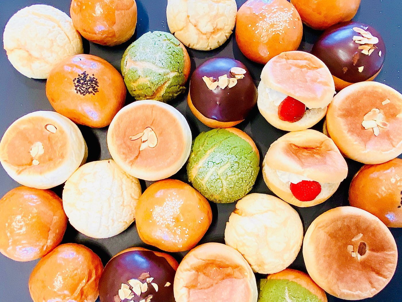 Mahoroba | Japanese BakeryBakery in South Land Park4.7 stars, 761 reviews
 Buckhorn BBQ + GrillBarbecue restaurant in South Land Park4.3 stars, 511 reviews
Businesses In South Land Park
Is yours missing or wrong? List or fix it free.
Food and Drink 7
- AkebonoJapanese restaurant
- Marie Callender'sAmerican restaurant
- Mahoroba | Japanese BakeryBakery
 Starbucks Coffee CompanyCoffee shop
- Buckhorn BBQ + GrillBarbecue restaurant
- Burger KingFast food restaurant
- Habit Burger & GrillHamburger restaurant
Groceries and Markets 3
 Oto's MarketplaceJapanese grocery store
 Sprouts Farmers MarketGrocery store
- Raley'sGrocery store
Beauty and Personal Care 1
 European Wax CenterWaxing hair removal service
Tech and Repair 1
- Fast iPhone, iPad, Macbook, Samsung RepairMobile phone repair shop
Own A Business In Sacramento
List it free on your neighborhood page in about two minutes. Townstoop is built by Clickflame, building local business sites since 2004.
South Land Park Questions
How many people live in South Land Park
About 4,773, from the Census American Community Survey tracts inside the South Land Park lines.
What parks are in South Land Park
3 mapped, including Cooledge Park, Memorial Rose Garden, Sutterville School Park.
How many schools are in South Land Park
2 schools are mapped inside the neighborhood.
What is the rent like in South Land Park
The Census median gross rent is $1,976 a month, against $1,779 for all of Sacramento.
Do people rent or own in South Land Park
26% of homes are rented and 74% are owned, against 48% rented across Sacramento.
How do people get to work from South Land Park
The average commute is 24 minutes. 52% drive alone, 0% take transit, 2% walk and 29% work from home.
How old are the homes in South Land Park
87% were built before 1960 and 3% in 2010 or later. 91% are single family homes.
Is South Land Park a family neighborhood
28% of households have children and 18% of residents are under 18. 22% are 65 or older.
Sources, Census figures from the US Census Bureau American Community Survey five year estimates, parks, schools and public places from OpenStreetMap contributors (ODbL). How we build these pages.